



Key facts
| Length | 19.1 km1 1 source |
|---|---|
| Elevation gain | 369 m1 1 source |
| Steepest 500 m | 7%1 1 source |
The colour next to a fact shows where it comes from: 1 source
Elevation profile
On the route and at the start
Coffee stops
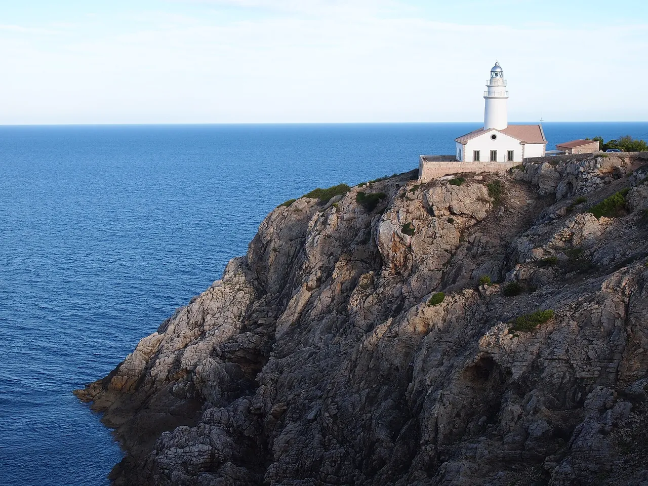
- Far de Formentor 19 m from the top of the climb
- Cappuccino 129 m off the road, 0 km from the start
- Cappuccino Grand Cafe 115 m off the road, 0 km from the start
- Holibikes Cafeteria 11 m off the road, 0.2 km from the start
- Store Formentor 21 m off the road, 0.7 km from the start
Bike rental from the start
- Rent Bike Formentor 0.6 km
- Hürzeler Fahrradverleih 0.8 km
- 2GoCycling 0.8 km · road bikes
- La Bicicleta 0.9 km
Nearby and related
- Cap de Formentor 0.1 km
- Boquer Valley walk to Cala Bóquer 0.4 km
- Mirador des Colomer (Es Colomer viewpoint) 3 km
- GR 221 Stage 9: Pont Romà - Port de Pollença 6.8 km
- Pollença (Pollensa) 6.8 km
Other climbs
- Puig Major from Lluc 17.9 km, 2.3%
- Lluc from Caimari 8.1 km, 4.9%
- Puig de Santa Magdalena 2.1 km, 5%
- Coll dels Reis 2.5 km, 7.1%
All climbs, routes and bike rental
Questions and answers
How long is the climb Formentor to the lighthouse and how much does it climb?
Formentor to the lighthouse is 19.1 km long with 369 m of climbing (from Port de Pollença to Far de Formentor), 0.4% on average.
Where do these figures come from?
Length from the road geometry in OpenStreetMap, elevations from our terrain model (30 m grid); we compare the results with published sources and mark every figure with an agreement status.
Sources
- pomiar-rowery (accessed 2026-10-30)
- climbfinder.com (accessed 2026-10-30)
Checked 30 October 2026. Our own descriptions; figures from the sources above, with conflicting sources shown as a range.