

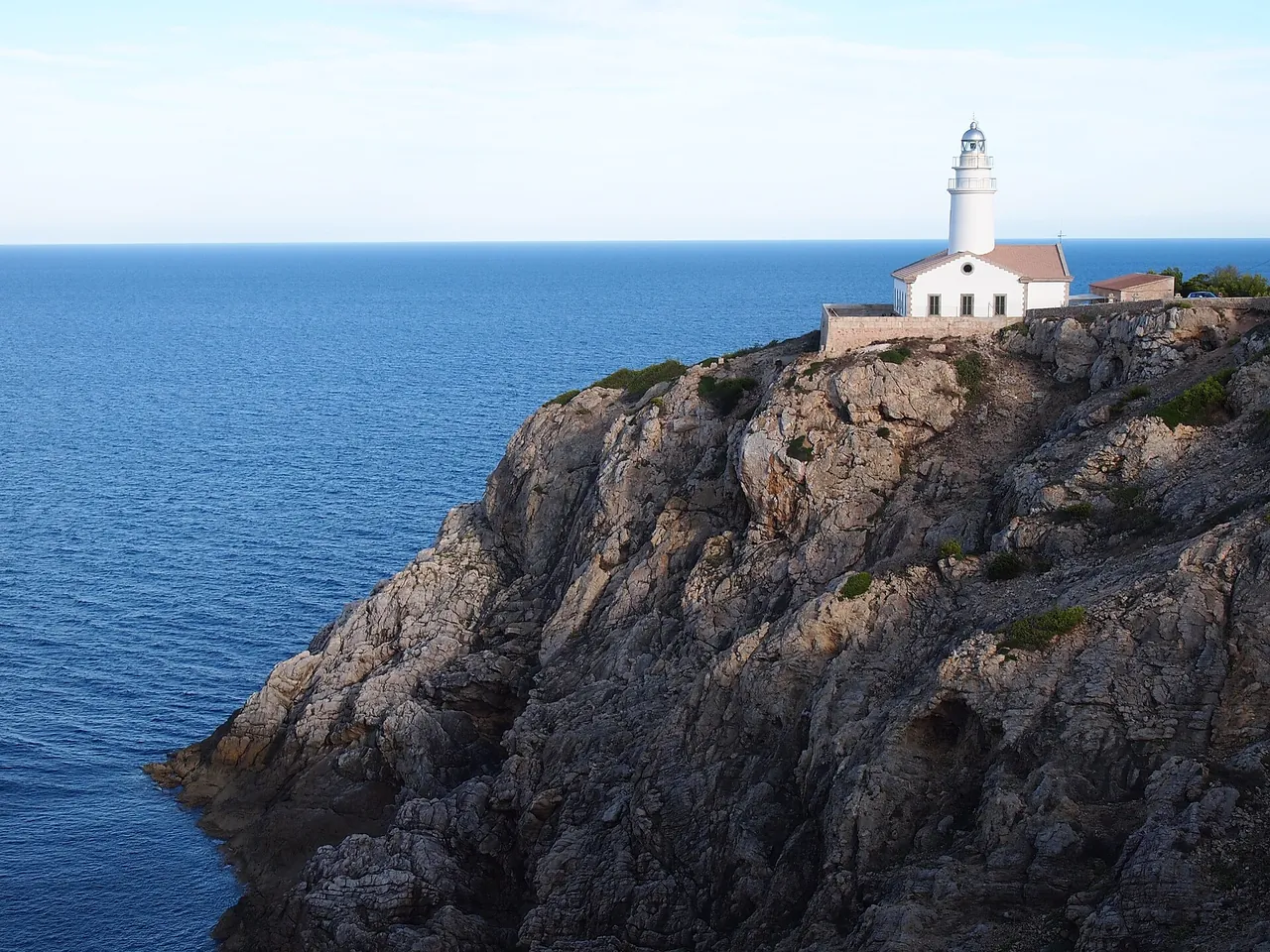


Key facts
| Length of the road from Port de Pollença to the cape | 13.5 km1 1 source |
|---|---|
| Year the road opened | 1,925 year1 1 source |
| Year the lighthouse entered service | 1,863 year1,2 2+ sources agree |
| Height of the cliffs above the sea | 300 m1 1 source |
| Height of the lighthouse above sea level | 159 m2 1 source |
| Highest point of the peninsula | 384 m1,2 sources differ: 375-384 |
| Tickets | No entry fee for the cape in the sources we read. The bus and parking may be paid, and their prices were not confirmed. |
| Best time to go | April, May, June, September, October; before 10:00 (outside the traffic regulation hours) or at sunset (editorial assessment) |
| Crowds | high in the regulation season 15 May-18 October 2026; Click Mallorca describes Formentor beach as the most crowded in hot weather |
The colour next to a fact shows where it comes from: 2+ sources agree 1 source sources differ
Getting there
- By car from Palma: about 98 min, 84.2 km (our own measurement on the OSM road network, without traffic; method)
- The Ma-2210 road from Port de Pollença; by our own measurement on the OSM road network, from Palma about 84 km and about 98 min without traffic and restrictions.
- Parking: Car park at Formentor beach (km 8); a small car park at the lighthouse (Click Mallorca, text from 2018, does not apply to the regulated season).
- Restrictions: In the 2026 season (15 May-18 October, 10:00-22:00) a private car can enter the car park at Formentor beach (km 8) only until the spaces are full, and the stretch to the lighthouse is closed to private cars. Details in the record formentor-ograniczenie-wjazdu; the dates of the 2027 season are not known.
Free parking
- Unnamed car park: about 185 m on foot, 28 spaces
Car parks tagged as free in OpenStreetMap (fee=no); walking distance = straight line x 1.3. All free car parks
Questions and answers
Can I drive to Cap de Formentor in July?
In the 2026 season, from 15 May to 18 October, the Ma-2210 road was regulated between 10:00 and 22:00. In your own car you can only drive as far as the car park at Formentor beach (km 8), and only while spaces are free; the stretch beyond to the lighthouse is closed to private cars. The rules for 2027 are not yet known.
How do I get to the Formentor lighthouse without a car?
By the seasonal TIB line 334 from Alcúdia via Port de Pollença, which has been extended to the lighthouse since June 2025; from Palma to Port de Pollença runs line 301. Check the current timetable of line 334 at tib.org before you go.
How long should I allow for Cap de Formentor?
The road from Port de Pollença itself is about 13.5 km, and from Palma the journey takes about 1.5 hours one way. Click Mallorca recommends an organised excursion of about 4 hours starting from Puerto Alcúdia, so for your own visit with the viewpoints and the lighthouse it is worth leaving half a day.
When is Cap de Formentor least crowded?
It is quietest before 10:00, before the traffic regulation starts, and outside the season from 15 May to 18 October. Click Mallorca notes that Formentor beach is most crowded in hot weather. This is an editorial assessment, with no measurement of visitor numbers.
Can I get to Cap de Formentor by bike or on foot?
Yes. The DGT regulation applies to private cars; cyclists and pedestrians can use the road, and a shuttle bus runs as the alternative to driving. The road is narrow and winding, so take care.
Nearby and related
Places to visit
Hiking trails
- Talaia d'Alcúdia hike 10.5 km
- Boquer Valley walk to Cala Bóquer 12.3 km
Related
- Mirador des Colomer (Es Colomer viewpoint)
- Boquer Valley walk to Cala Bóquer
- Pollença (Pollensa)
- Cap de Formentor: summer vehicle access restriction
More in this region: Serra de Tramuntana
Sources
- en.wikipedia.org (accessed 2026-10-29)
- click-mallorca.com (accessed 2026-10-29)
- dgt.es (accessed 2026-10-29)
- tib.org (accessed 2026-10-29)
- tib.org (accessed 2026-10-29)
- pomiar-osm-dojazdy (accessed 2026-10-29)
Checked 29 October 2026. Our own descriptions; figures from the sources above, with conflicting sources shown as a range.