Mallorca
Hiking trails in Mallorca
Trails with distance, time, difficulty and how to reach the start, including the GR 221 stages.
Results 24 of 24
No results.
Serra de Tramuntana · Alaró
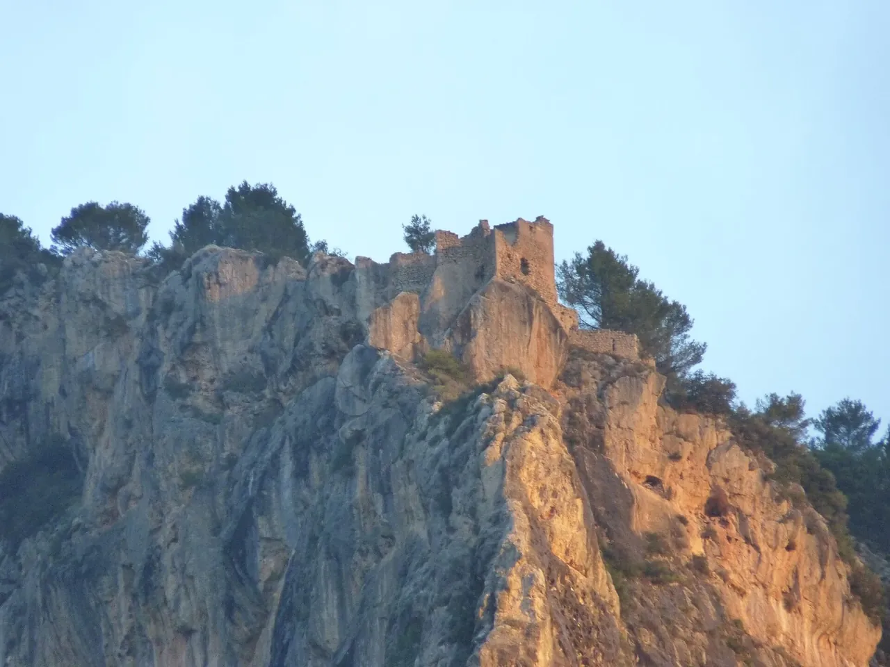
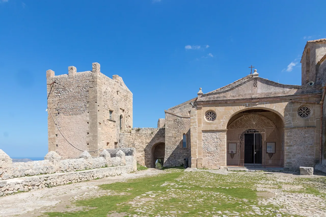
Alaró Castle hike
A walk up to the castle ruins on Puig d'Alaró (822 m) from the village of Orient, or by a shorter route from Es Verger.
- Distance
- 12 km
- Time
- 3 h
- Ascent
- 400-600 m
- moderate
- 12 km
- 3 h
Serra de Tramuntana · Valldemossa
Archduke's Path (Camí de s'Arxiduc)
A historic scenic path built by Archduke Ludwig Salvator, leading from Valldemossa into the heart of the Tramuntana.
- Distance
- 9 km
- Time
- 3.5 h
- Ascent
- 600-800 m
- moderate
- 9 km
- 3.5 h
Serra de Tramuntana · Pollença (Pollensa)
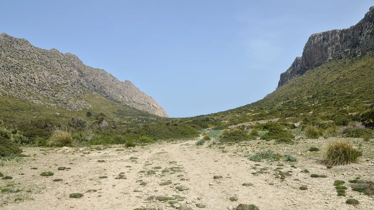
Boquer Valley walk to Cala Bóquer
A short, easy walk along the Boquer Valley near Port de Pollença to the rocky cove of Cala Bóquer.
- Distance
- 5.2 km
- Time
- 1.9 h
- Ascent
- 157 m
- moderate
- 5.2 km
- 1.9 h
Serra de Tramuntana · Andratx
GR 221 Stage 1: Port d'Andratx - Sant Elm
The easiest and shortest stage of the Ruta de Pedra en Sec (Dry Stone Route): a walk from the harbour at Andratx to Sant Elm by the sea, with some…
- Distance
- 9.8 km
- Time
- 3.3 h
- Ascent
- 372 m
- easy
- 9.8 km
- 3.3 h
Serra de Tramuntana · Andratx
GR 221 Stage 2: Sant Elm - Estellencs
The longest of the southern GR 221 stages: almost 25 km and over 1,000 m of ascent from Sant Elm over the hills to Estellencs, a village above a…
- Distance
- 24.7 km
- Time
- 8.7 h
- Ascent
- 1010 m
- hard
- 24.7 km
- 8.7 h
Serra de Tramuntana · Estellencs
GR 221 Stage 3: Estellencs - Esporles
A medium-difficulty GR 221 stage from Estellencs to Esporles: 14.4 km through stone terraces, water tanks and forest paths of the Tramuntana.
- Distance
- 14.4 km
- Time
- 4.8 h
- Ascent
- 670 m
- moderate
- 14.4 km
- 4.8 h
Serra de Tramuntana · Esporles
GR 221 Stage 4: Esporles - Can Boi
A long, hard GR 221 stage from Esporles via Valldemossa to the Can Boi refuge in Deià: over 23 km and over 1,300 m of ascent.
- Distance
- 23.1 km
- Time
- 8.2 h
- Ascent
- 1326 m
- hard
- 23.1 km
- 8.2 h
Serra de Tramuntana · Deià
GR 221 Stage 5: Can Boi - Muleta
The shortest and gentlest stage of the Ruta de Pedra en Sec: just under 10 km from Deià along the coast to the Muleta refuge, a former telegraph…
- Distance
- 9.9 km
- Time
- 3.1 h
- Ascent
- 362 m
- easy
- 9.9 km
- 3.1 h
Serra de Tramuntana · Sóller
GR 221 Stage 6: Muleta - Tossals Verds
The longest and hardest GR 221 stage: almost 28 km from Port de Sóller through the Biniaraix ravine and the l'Ofre pass to the Tossals Verds refuge.
- Distance
- 27.8 km
- Time
- 9.1 h
- Ascent
- 1111 m
- hard
- 27.8 km
- 9.1 h
Serra de Tramuntana · Escorca
GR 221 Stage 7: Tossals Verds - Son Amer
A mountain stage of the GR 221 from the Tossals Verds refuge to Son Amer near the Lluc sanctuary: 15 km of rocky, jagged terrain with about 870 m of…
- Distance
- 15.1 km
- Time
- 5.6 h
- Ascent
- 869 m
- moderate
- 15.1 km
- 5.6 h
Serra de Tramuntana · Escorca
GR 221 Stage 8: Son Amer - Pont Romà
A descent from Lluc to Pollença along the old pilgrims' road: 17.5 km, almost 700 m downhill and virtually no climbing.
- Distance
- 17.4 km
- Time
- 4.8 h
- Ascent
- 189 m
- moderate
- 17.4 km
- 4.8 h
Serra de Tramuntana · Pollença (Pollensa)
GR 221 Stage 9: Pont Romà - Port de Pollença
The final, easy stage of the GR 221: just under 7 km, almost flat, from Pollença to Port de Pollença, ending the trail by the sea.
- Distance
- 6.7 km
- Time
- 1.4 h
- Ascent
- 2 m
- easy
- 6.7 km
- 1.4 h
Serra de Tramuntana · Andratx
La Trapa hike from Sant Elm
A popular walk from Sant Elm over the hills to La Trapa, a former Trappist monastery above a cliff with a view of Dragonera.
- Distance
- 9 km
- Time
- 4 h
- Ascent
- 450-600 m
- moderate
- 9 km
- 4 h
Serra de Tramuntana · Estellencs
Puig de Galatzó hike
A climb of Puig de Galatzó (1,027 m), a distinctive peak of the western Tramuntana.
- Distance
- 12 km
- Time
- 5 h
- Ascent
- 737 m
- hard
- 12 km
- 5 h
Serra de Tramuntana · Pollença (Pollensa)
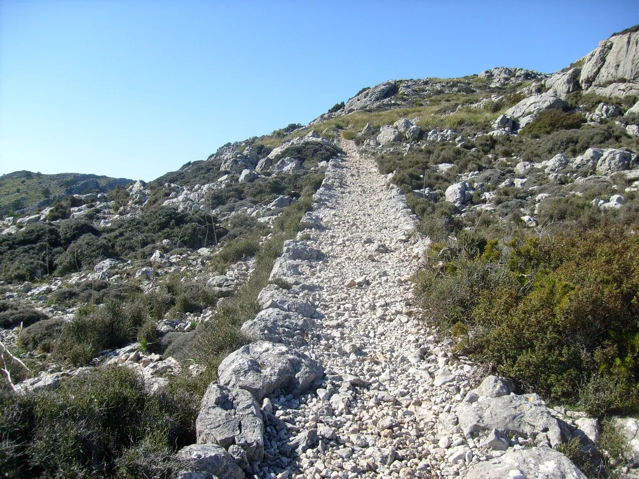
Puig de Maria hike
A short, steep climb along a cobbled road up the hill of Puig de Maria above Pollença, to a former monastery with views of the bays of Pollença and…
- Distance
- 4.2 km
- Time
- 2 h
- Ascent
- 270 m
- easy
- 4.2 km
- 2 h
Serra de Tramuntana · Escorca
Puig de Massanella hike
The highest accessible peak of Mallorca (1,364 m), because the higher Puig Major is a military zone.
- Distance
- 13 km
- Time
- 8 h
- Ascent
- 800 m
- hard
- 13 km
- 8 h
Serra de Tramuntana · Alcúdia
Talaia d'Alcúdia hike
A climb to the highest point of the Alcúdia peninsula (about 446 m) from the Ermita de la Victòria, with views of the bays of Alcúdia and Pollença.
- Distance
- 9.5 km
- Time
- 5 h
- Ascent
- 598 m
- moderate
- 9.5 km
- 5 h
On the map, without a full write-up 7
Name, region and basic figures; a full page follows once the entry has been checked.
- Biniaraix Ravine walkSerra de Tramuntana · Sóller6 km
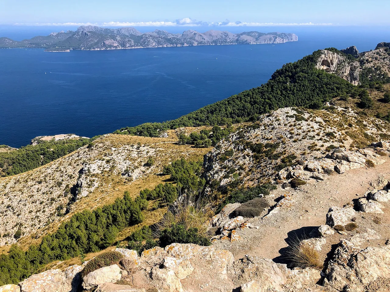
- Cap de Formentor coastal and Fumat hikesSerra de Tramuntana · Pollença (Pollensa)300-450 m
- Coastal walk to Cala Varques from Cala RomànticaLlevant · Manacor3.5 km
- Puig de Randa hikePla de Mallorca · Algaida4.8 km
- Puig Tomir loop from BinifaldóSerra de Tramuntana · Escorca12.3 km
- Sa Dragonera: Far Vell trailSerra de Tramuntana · Andratx3 h
- Torrent de Pareis gorge hikeSerra de Tramuntana · Escorca8 km