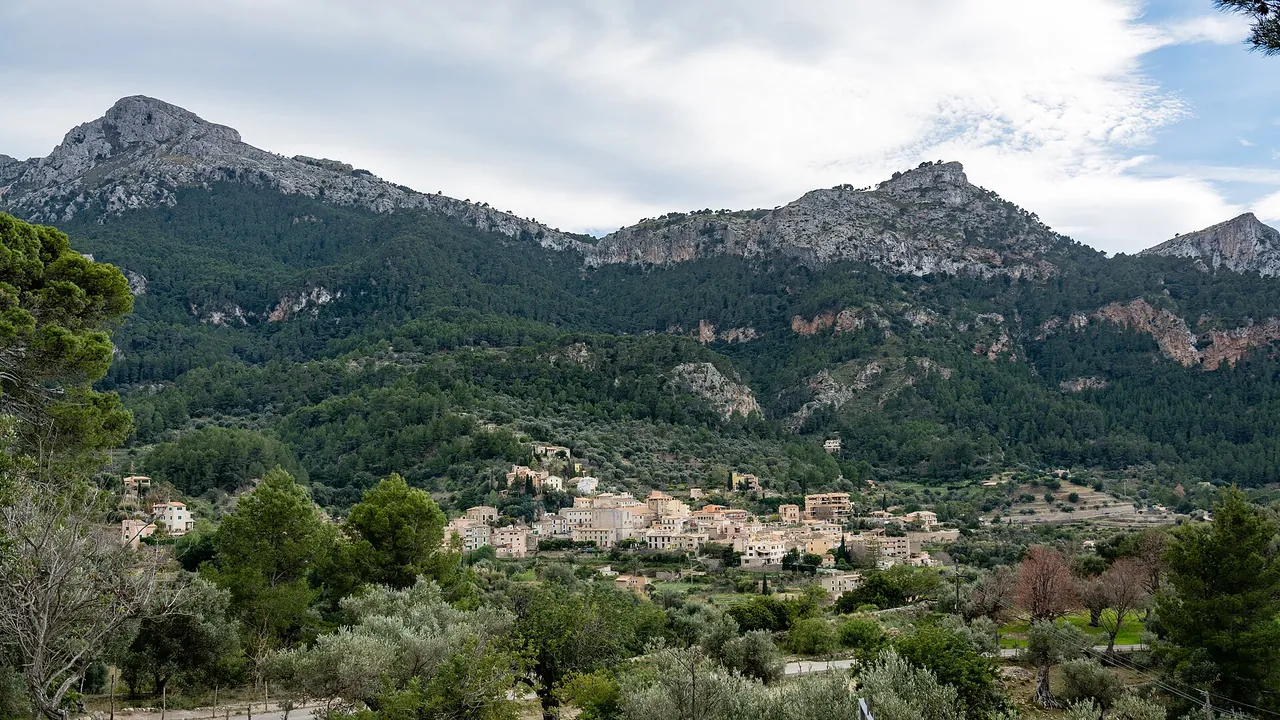
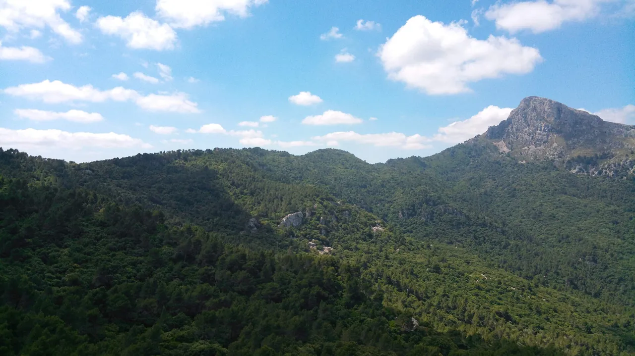
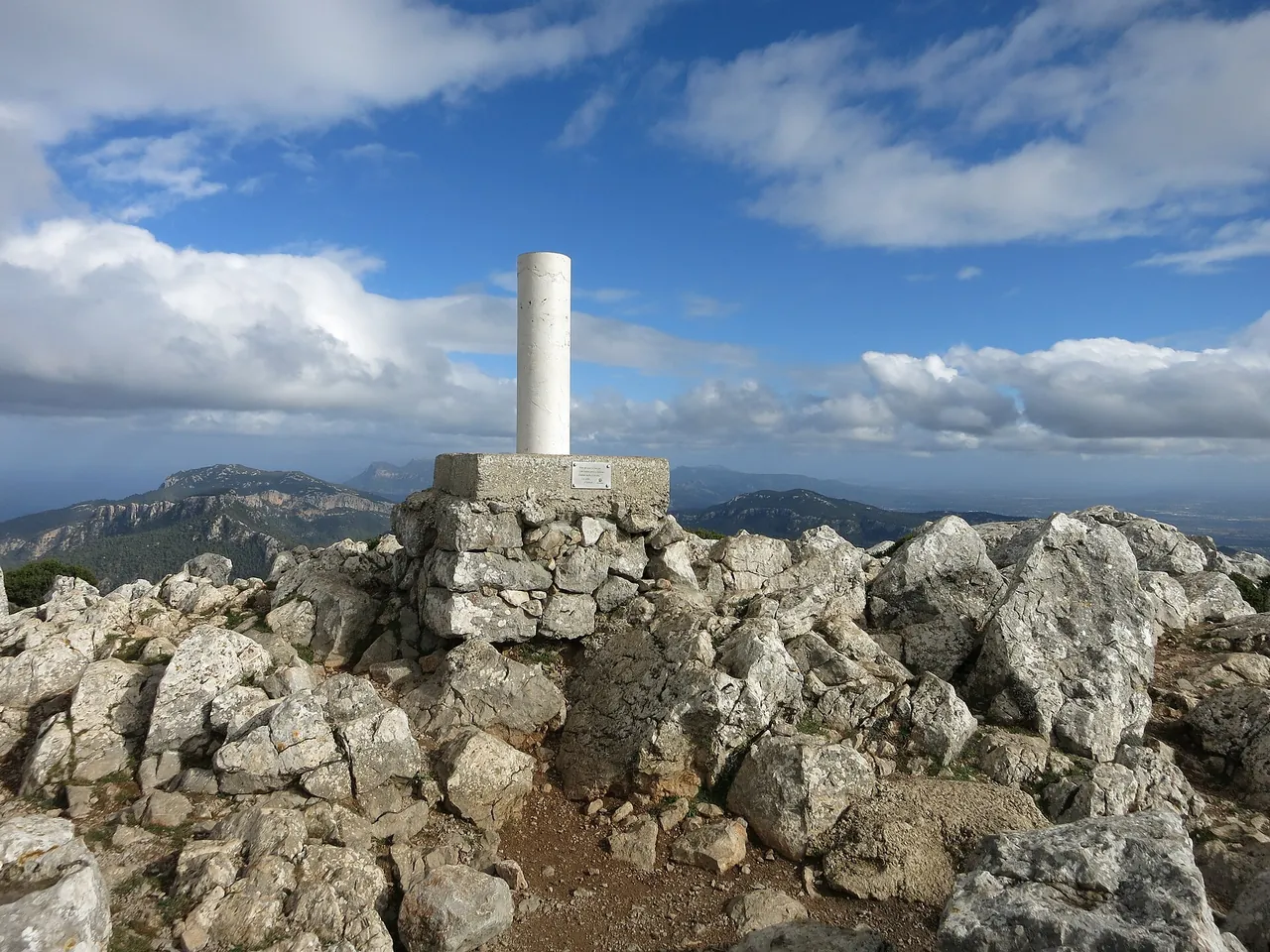


Key facts
| Elevation of the summit | 1,027 m1,2 2+ sources agree |
|---|---|
| Distance | 12 km2,3 2+ sources agree |
| Total ascent (own calculation from 290 and 1,027 m according to Click Mallorca) | 737 m2,3 2+ sources agree |
| Walking time | 5 h2,3 2+ sources agree |
| Distance | 12 km |
| Time | 5 h |
| Ascent | 737 m |
| Difficulty | hard |
| Start | Estellencs |
| Tickets | free entry on this route according to the sources checked |
| Best time to go | March, April, May, October, November; morning; avoid the hot afternoon |
| Crowds | medium (editorial assessment) |
The colour next to a fact shows where it comes from: 2+ sources agree
Getting there
- About 30-45 min from Palma according to Palma Weekly; start in Estellencs (Ma-10).
- Parking: Estellencs (fees not checked)
- Restrictions: TIB lines to Estellencs: to be added from the practical entries.
- Without a car: stop Estellencs 1, about 153 m on foot (about 2 min), lines 202 (GTFS CTM; all places without a car)
Questions and answers
When should I avoid climbing Puig de Galatzó?
In hot weather and after rain: the final stretch has short scrambling sections that are dangerous on wet rock. Click Mallorca advises extra care on the last part.
How do I get back to Estellencs from Puig de Galatzó?
The route is out-and-back to Estellencs, so you return by the same path. The TIB bus to Estellencs needs to be checked at tib.org (not verified at the time of our check).
Do I need a permit or reservation for Puig de Galatzó?
Not on this route: the sources checked (Click Mallorca, Palma Weekly) mention no permit. A visit to the Finca Pública de Galatzó in the municipality of Calvià is different and has its own entry rules.
Is there water or food on the Puig de Galatzó hike?
There are no confirmed water sources or places to eat on the trail. Take supplies for about 5 hours and restock in Estellencs.
Nearby and related
Hiking trails
- GR 221 Stage 3: Estellencs - Esporles 0 km
- GR 221 Stage 4: Esporles - Can Boi 8.4 km
- Archduke's Path (Camí de s'Arxiduc) 13.7 km
- GR 221 Stage 2: Sant Elm - Estellencs 13.8 km
- La Trapa hike from Sant Elm 13.8 km
Towns and villages
- Andratx 10.2 km
Related
More in this region: Serra de Tramuntana
Sources
- wikidata.org (accessed 2026-10-29)
- click-mallorca.com (accessed 2026-10-29)
- palmaweekly.com (accessed 2026-10-29)
- nominatim.openstreetmap.org (accessed 2026-10-29)
Checked 29 October 2026. Our own descriptions; figures from the sources above, with conflicting sources shown as a range.