

Key facts
| Core zone of the UNESCO site | 30,745 ha1,3 2+ sources agree |
|---|---|
| Buffer zone of the UNESCO site | 78,617 ha1 1 source |
| Year of inscription on the UNESCO list | 2,011 year1,3 2+ sources agree |
| Length of the range | 87 km3,4 2+ sources agree |
| Highest peak of the range, Puig Major | 1,445 m1,2,3 sources differ: 1,436-1,445 |
| Number of municipalities in the UNESCO site table | 13 municipalities1 1 source |
| Tickets | No fee for entering the range in the sources we read. Individual attractions, car parks and transfers may be paid; fees on the GR 221 trail were not checked. |
| Best time to go | March, April, May, October, November; on the trails in summer only early in the morning (editorial assessment) |
| Crowds | busiest in season on the Ma-10, in Sóller and at Sa Calobra; heat in the mountains in summer; spring and autumn are quieter (editorial assessment) |
The colour next to a fact shows where it comes from: 2+ sources agree 1 source sources differ
Getting there
- By car from Palma: about 42 min, 27.9 km (our own measurement on the OSM road network, without traffic; method)
- The Ma-10 runs along the whole range; from Palma to its edge by our own OSM measurement about 28 km and about 42 min without traffic.
- Parking: Depends on the town and the route; details in the records for places, towns and trails.
- Restrictions: The summit of Puig Major is a military zone. Traffic regulation applies to Formentor in season (record formentor-ograniczenie-wjazdu). In summer heat AEMET warnings apply.
- Without a car: stop Deià 2, about 1253 m on foot (about 17 min), lines 203 (GTFS CTM; all places without a car)
Questions and answers
What is the Serra de Tramuntana and why is it a UNESCO site?
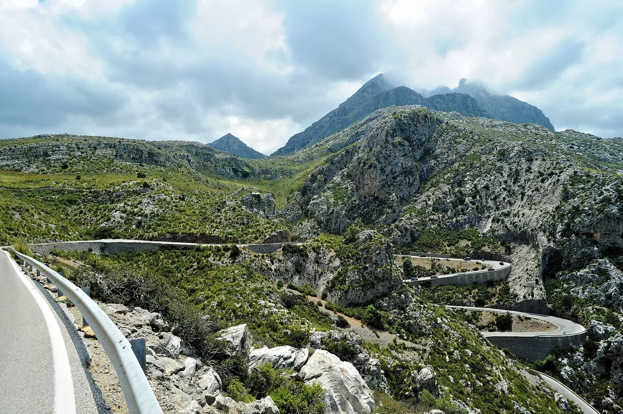
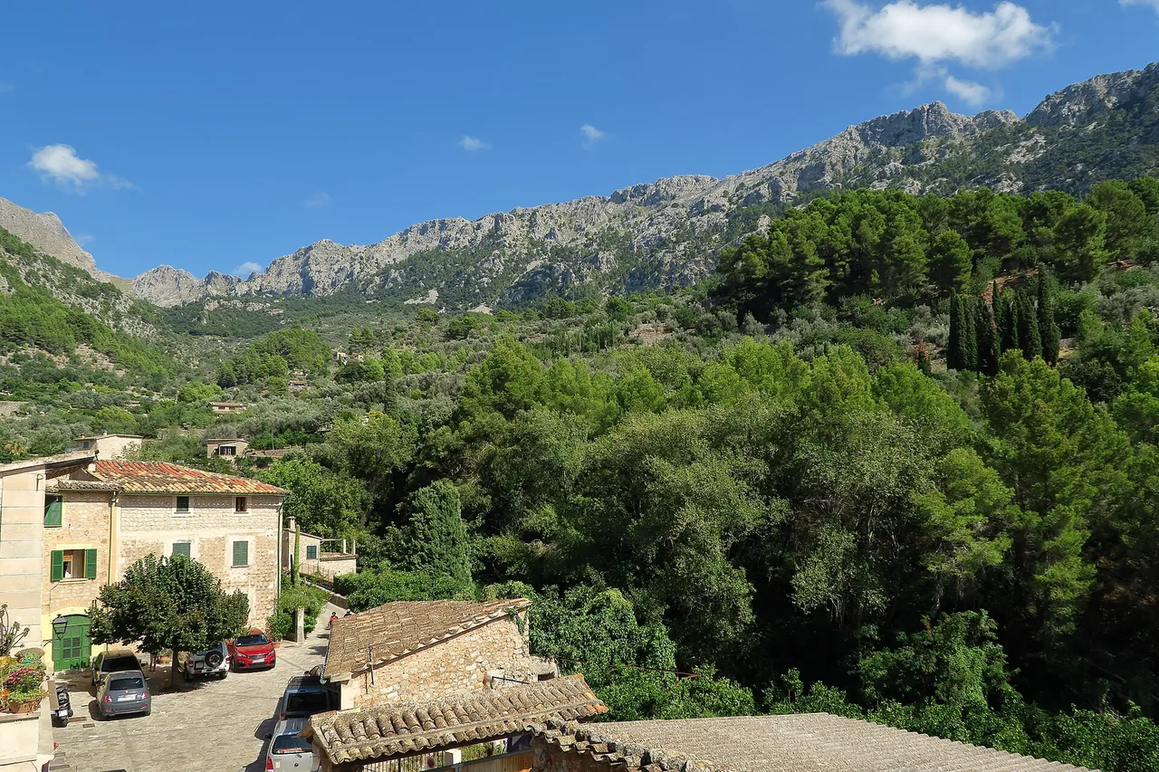
It is a mountain range about 87 km long along the north-west coast of Mallorca. The UNESCO inscription of June 2011 covers a cultural landscape with dry-stone terraces and an ancient water system; the core zone is 30,745 ha and the buffer zone 78,617 ha.
How can I explore the Tramuntana without a car?
By TIB buses: line 203 runs from Palma via Valldemossa and Deià to Port de Sóller, and the faster 204 through the tunnel to Sóller. Line 312 from Inca and Muro runs to Lluc. From Sóller to Port de Sóller runs the vintage tram, and to Sóller the train, both outside the TIB fare system.
Can you climb Puig Major?
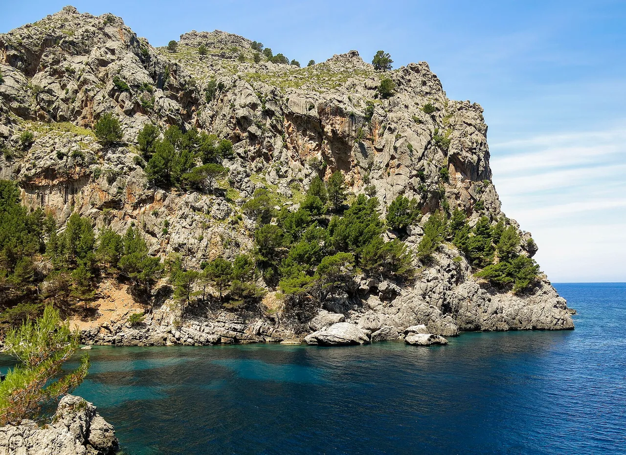
Not to the very top. The highest point of Mallorca, 1,445 m, lies in a military zone that you may not enter. The summit can be seen from the Ma-10 and from around Sa Calobra.
When is the best time to hike in the Tramuntana?
Editorial assessment: from March to May and in October-November. In summer set out only early in the morning and check the AEMET warnings before you go; the rules are described in the record upal-ostrzezenia-aemet.
Nearby and related
Places to visit
- Alfàbia Gardens 4.3 km
- Sóller oranges 6.3 km
Beaches
- Cala Deià 2.4 km
- Port de Sóller beaches 7.1 km
Hiking trails
- GR 221 Stage 5: Can Boi - Muleta 0.8 km
- Archduke's Path (Camí de s'Arxiduc) 4 km
- GR 221 Stage 6: Muleta - Tossals Verds 6.8 km
- Alaró Castle hike 9.4 km
- GR 221 Stage 4: Esporles - Can Boi 10.1 km
Towns and villages
- Deià 0.9 km
- Valldemossa 4 km
- Sóller 6.3 km
- Fornalutx 9.1 km
Festivals and events
Related
- Puig Major
- Sa Calobra
- Lluc Monastery (Santuari de Lluc)
- Cap de Formentor
- Alfàbia Gardens
- Sa Dragonera Natural Park
- Cala Deià
- GR 221 Stage 1: Port d'Andratx - Sant Elm
- GR 221 Stage 5: Can Boi - Muleta
- GR 221 Stage 7: Tossals Verds - Son Amer
- Puig de Massanella hike
- Puig de Galatzó hike
- Sóller
- Valldemossa
- Deià
- Pollença (Pollensa)
- Andratx
- Fornalutx
- Sóller train and tram to Port de Sóller
- Cap de Formentor: summer vehicle access restriction
More in this region: Serra de Tramuntana
Sources
- en.wikipedia.org (accessed 2026-10-29)
- en.wikipedia.org (accessed 2026-10-29)
- es.wikipedia.org (accessed 2026-10-29)
- lluc.net (accessed 2026-10-29)
- tib.org (accessed 2026-10-29)
- pomiar-osm-dojazdy (accessed 2026-10-29)
Checked 29 October 2026. Our own descriptions; figures from the sources above, with conflicting sources shown as a range.