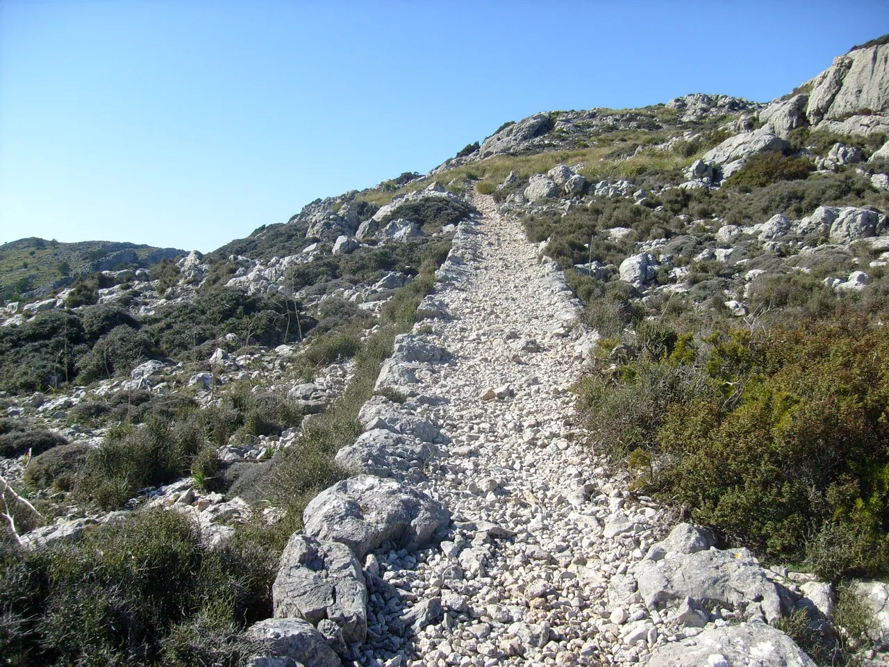
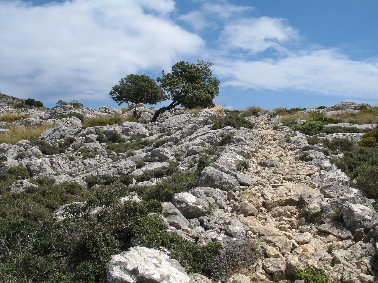
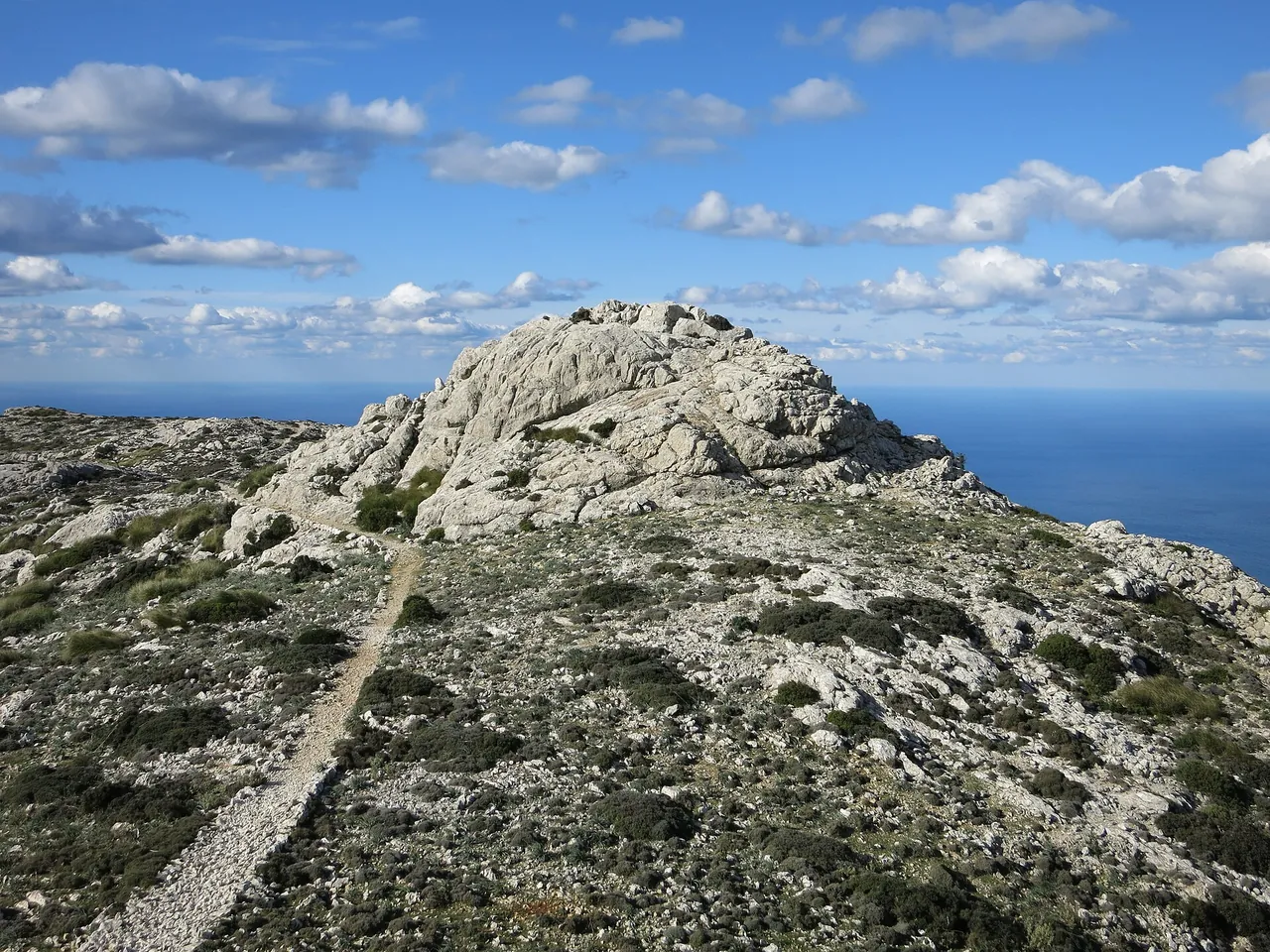


Key facts
| Distance | 9 km1,2 sources differ: 9-12 |
|---|---|
| Walking time | 3.5 h1,2 2+ sources agree |
| Elevation of Valldemossa | 413 m4 sources differ: 409-413 |
| Distance | 9 km |
| Time | 3.5 h |
| Ascent | 600-800 m |
| Difficulty | moderate |
| Start | Valldemossa |
| Tickets | the permit is free but required according to Click Mallorca (one source) |
| Best time to go | March, April, May, October, November; morning |
| Crowds | medium; daily limit according to Click Mallorca |
The colour next to a fact shows where it comes from: 2+ sources agree 1 source sources differ
Getting there
- About 25-35 min from Palma (Ma-1110) according to Palma Weekly; start in Valldemossa.
- Parking: Valldemossa (fees not checked)
- Restrictions: Click Mallorca (2026-10): a free permit is currently required and a daily visitor limit applies. Not confirmed in an official source: check with the Consell de Mallorca or the Valldemossa town council before setting out. TIB lines to Valldemossa: to be added from the practical entries.
- Without a car: stop Valldemossa 1, about 307 m on foot (about 4 min), lines 203 (GTFS CTM; all places without a car)
Questions and answers
When should I avoid the Camí de s'Arxiduc?
In the midday heat, and without arranging the required permit beforehand. Palma Weekly lists no other hazards, but in summer it is worth setting out in the morning and taking a supply of water.
How do I get back to Valldemossa?
The Click Mallorca version (9 km) and PW (10-12 km) describe a loop from Valldemossa, so you return to your starting point. According to one guidebook the TIB bus to Valldemossa is line L-203: times to be checked at tib.org.
Do I need a permit or reservation for the Camí de s'Arxiduc?
According to Click Mallorca, currently yes: a free permit is required, and the number of entries per day is limited. The information comes from a single editorial source, so confirm with the Consell de Mallorca or Valldemossa town hall.
Is there water or food on the Camí de s'Arxiduc?
The sources checked list no water points or places to eat on the trail. You can eat in Valldemossa; carry water for 3-4 hours with you.
Nearby and related
Places to visit
- Serra de Tramuntana 4 km
- Alfàbia Gardens 5.9 km
- Sóller oranges 10 km
Beaches
- Cala Deià 5.8 km
- Port de Sóller beaches 11.1 km
Hiking trails
- GR 221 Stage 5: Can Boi - Muleta 4.4 km
- GR 221 Stage 4: Esporles - Can Boi 6.1 km
- GR 221 Stage 6: Muleta - Tossals Verds 10.8 km
- Alaró Castle hike 12 km
- GR 221 Stage 3: Estellencs - Esporles 13.7 km
Towns and villages
- Valldemossa 0 km
- Deià 4.6 km
- Sóller 10 km
Festivals and events
Related
More in this region: Serra de Tramuntana
Sources
- click-mallorca.com (accessed 2026-10-29)
- palmaweekly.com (accessed 2026-10-29)
- caib.es (accessed 2026-10-29)
- wikidata.org (accessed 2026-10-29)
- nominatim.openstreetmap.org (accessed 2026-10-29)
Checked 29 October 2026. Our own descriptions; figures from the sources above, with conflicting sources shown as a range.