
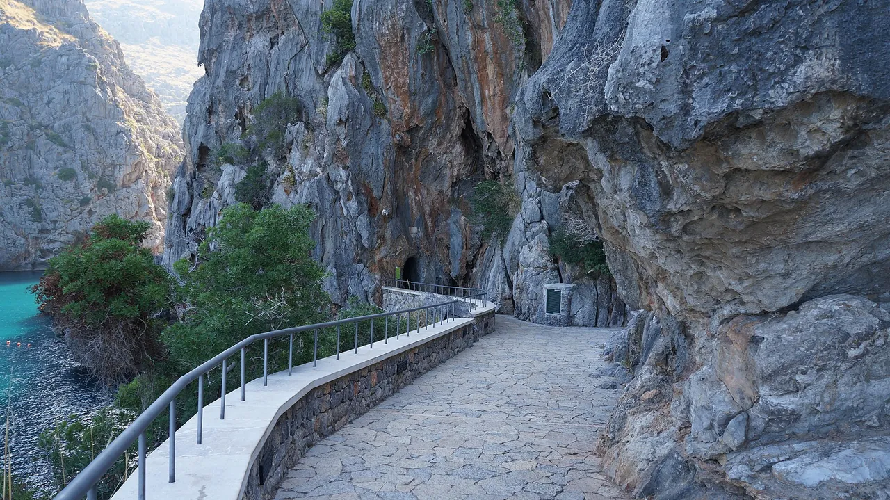
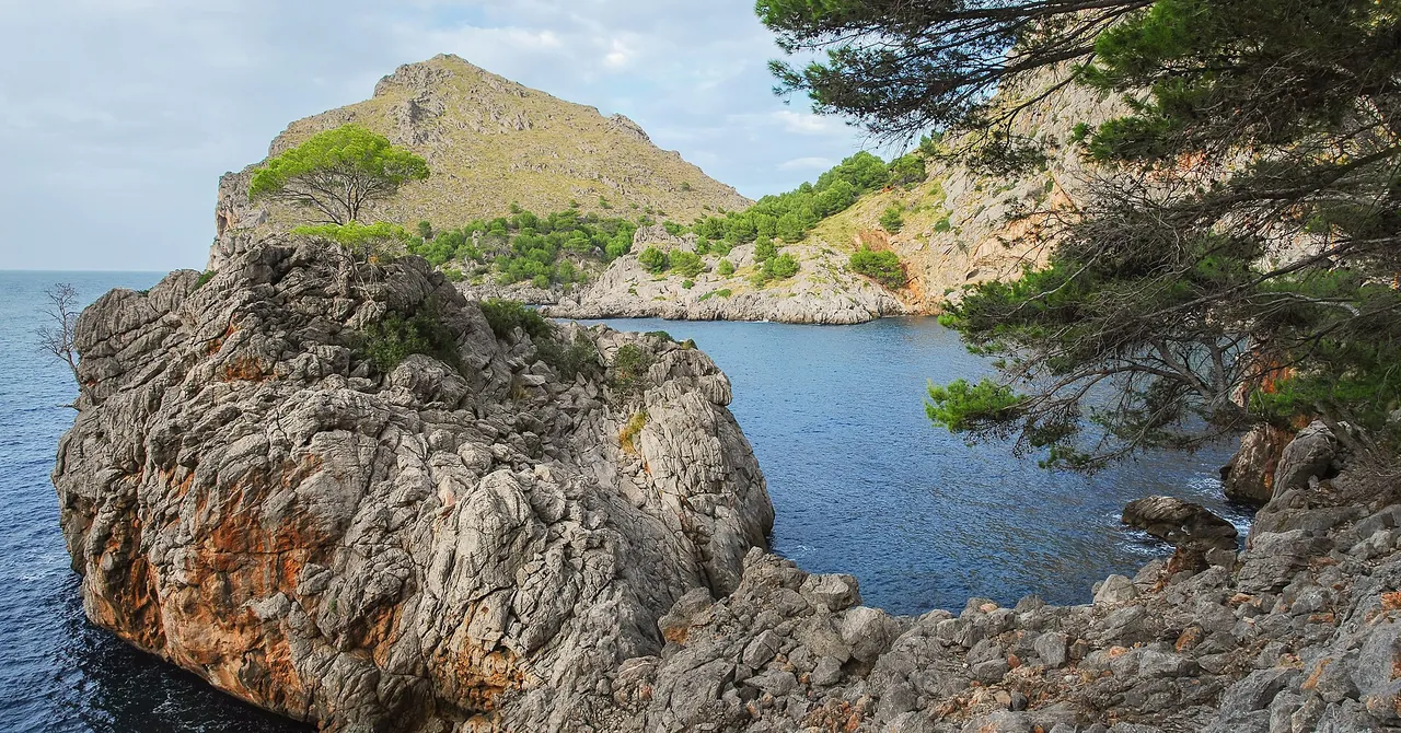


Key facts
| Length | 10.1 km1,2,3,4 2+ sources agree sources: 10 · 10.2 · 10.2 |
|---|---|
| Elevation gain | 710 m1,2,3,4 sources differ: 648-710 sources: 701 · 706 · 648 |
| Average gradient | 7.1%1,2,3,4 sources differ: 6.3-7.1 sources: 7 · 7.0 · 6.3 |
| Steepest 500 m | 11.4%1 1 source sources: 11.1 · 12 |
| Elevation at the top | 719 m1,2,3,4 sources differ: 682-723 sources: 723 · 722 · 682 |
The colour next to a fact shows where it comes from: 2+ sources agree 1 source sources differ
Elevation profile
On the route and at the start
Bike rental from the start
- Kilómetro Cero 10.6 km
- Tramuntana Tours 10.9 km
- Kilometro Cero 11.6 km
- North Wind Cycles.com 16.1 km
Nearby and related
- Sa Calobra 0.5 km
- Puig Major 3 km
- Lluc Monastery (Santuari de Lluc) 5.7 km
- Puig de Massanella hike 5.7 km
- GR 221 Stage 8: Son Amer - Pont Romà 6.4 km
Other climbs
- Coll dels Reis 2.5 km, 7.1%
- Puig Major from Lluc 17.9 km, 2.3%
- Puig Major from Sóller 14.7 km, 5.5%
- Coll de Sóller 8.4 km, 5.5%
All climbs, routes and bike rental
Questions and answers
How long is the climb Sa Calobra and how much does it climb?
Sa Calobra is 10.1 km long with 710 m of climbing (from Port de sa Calobra to Coll dels Reis), 7.1% on average.
Where do these figures come from?
Length from the road geometry in OpenStreetMap, elevations from our terrain model (30 m grid); we compare the results with published sources and mark every figure with an agreement status.
Sources
- pomiar-rowery (accessed 2026-10-30)
- climbfinder.com (accessed 2026-10-30)
- retocima.es (accessed 2026-10-30)
- pjammcycling.com (accessed 2026-10-30)
Checked 30 October 2026. Our own descriptions; figures from the sources above, with conflicting sources shown as a range.