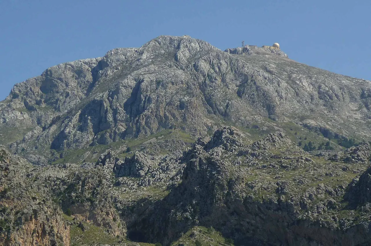
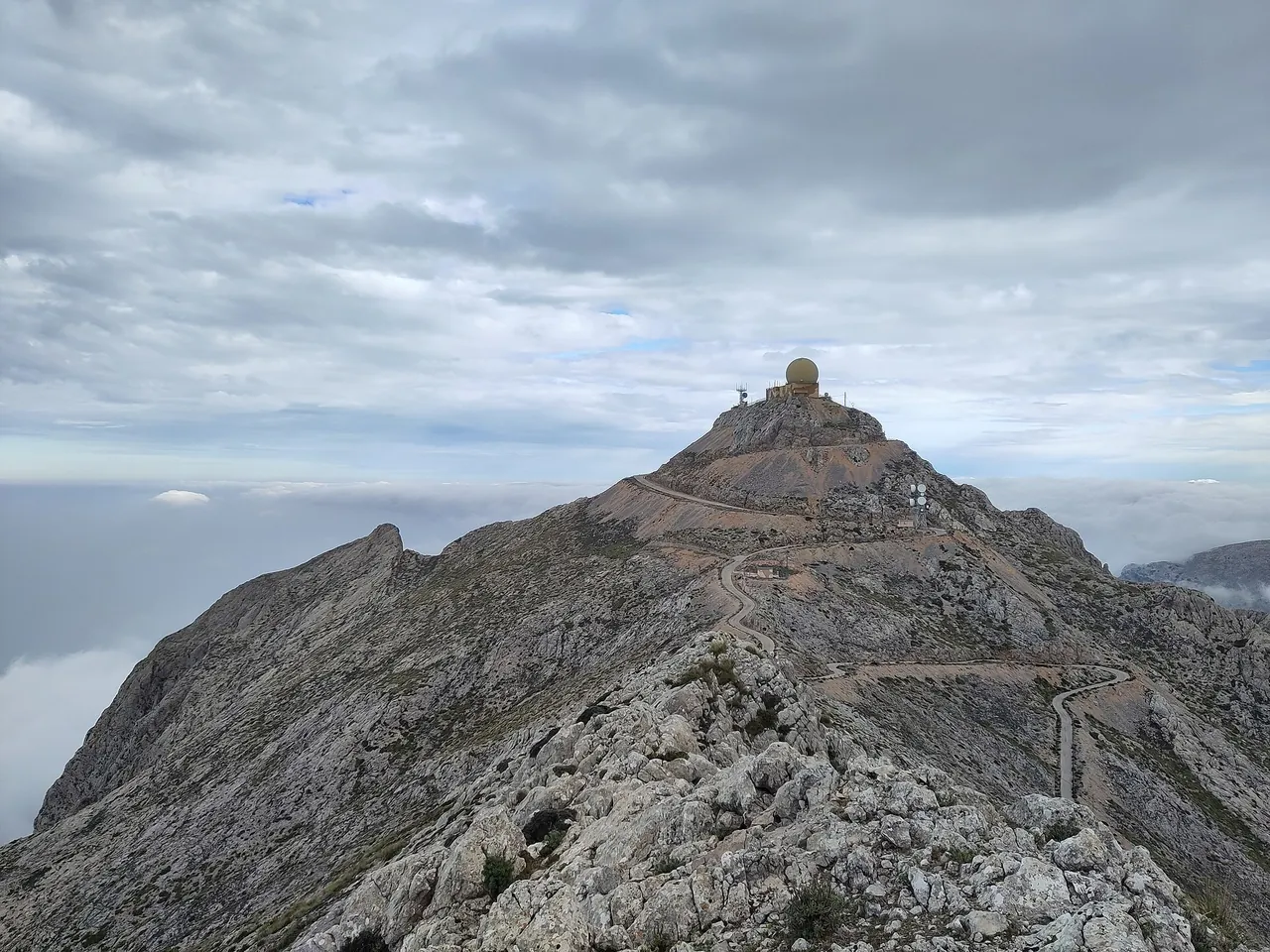


Key facts
| Length | 14.7 km1,2,3,4 sources differ: 14-14.7 sources: 14.3 · 14.5 · 14 |
|---|---|
| Elevation gain | 816 m1,2,3,4 2+ sources agree sources: 843 · 854 · 847 |
| Average gradient | 5.5%1,2,3,4 2+ sources agree sources: 5.9 · 5.9 · 6 |
| Steepest 500 m | 10.3%1,2,3 sources differ: 7.7-10.3 sources: 7.7 · 9 |
| Elevation at the top | 823 m1,2,3 sources differ: 823-871 sources: 846 · 871 |
The colour next to a fact shows where it comes from: 2+ sources agree sources differ
Elevation profile
On the route and at the start
Coffee stops
- Can Massià 143 m off the road, 0.1 km from the start
- Bera 126 m off the road, 0.1 km from the start
Drinking water points (OSM, within 200 m of the road): 2.
Bike rental from the start
- Kilometro Cero 1.3 km
- Tramuntana Tours 2.2 km
- Kilómetro Cero 2.7 km
- North Wind Cycles.com 10.5 km
Nearby and related
- Sóller 1.2 km
- Sóller oranges 1.2 km
- Port de Sóller beaches 2.2 km
- Puig Major 2.5 km
- Fornalutx 3 km
Other climbs
- Coll de Sóller 8.4 km, 5.5%
- Coll d'Honor and Orient 6 km, 6%
- Coll dels Reis 2.5 km, 7.1%
- Sa Calobra 10.1 km, 7.1%
All climbs, routes and bike rental
Questions and answers
How long is the climb Puig Major from Sóller and how much does it climb?
Puig Major from Sóller is 14.7 km long with 816 m of climbing (from Roundabout Ma-11 and Ma-10 in Sóller to Monnàber tunnel (Sóller side)), 5.5% on average.
Where do these figures come from?
Length from the road geometry in OpenStreetMap, elevations from our terrain model (30 m grid); we compare the results with published sources and mark every figure with an agreement status.
Sources
- pomiar-rowery (accessed 2026-10-30)
- climbfinder.com (accessed 2026-10-30)
- retocima.es (accessed 2026-10-30)
- pjammcycling.com (accessed 2026-10-30)
Checked 30 October 2026. Our own descriptions; figures from the sources above, with conflicting sources shown as a range.