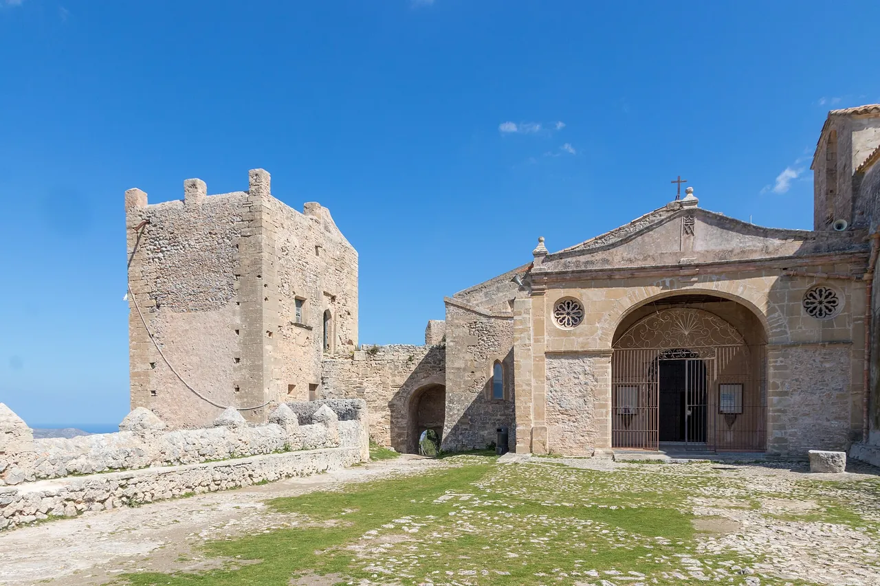
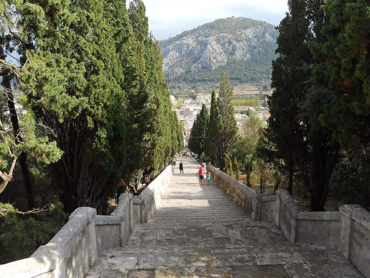
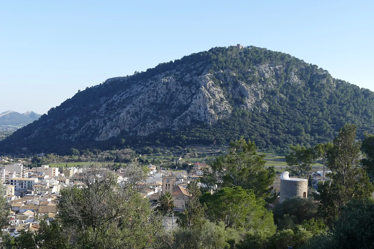


Key facts
| Loop distance | 4.2 km1,2,3 sources differ: 4.2-5.2 |
|---|---|
| Total ascent | 270 m1,2 sources differ: 270-280 |
| Walking time | 2 h1,2 2+ sources agree |
| Elevation of the hill | 345 m1,2,4 sources differ: 318-345 |
| Length of the OSM relation, one way | 2.2 km3 1 source |
| Distance | 4.2 km |
| Time | 2 h |
| Ascent | 270 m |
| Difficulty | easy |
| Start | Ma-2200 south of Pollença (car park) |
| Tickets | free entry to the route; fees at the sanctuary not checked |
| Best time to go | March, April, May, September, October, November; morning or late afternoon |
| Crowds | high in season (Visorando: very busy) |
The colour next to a fact shows where it comes from: 2+ sources agree 1 source sources differ
Getting there
- From the Ma-2200 south of Pollença; a car park for 3-4 cars at the start, or a larger one about 100 m earlier by a large monument (Visorando).
- Parking: 3-4 spaces at the start or a larger car park about 100 m earlier
- Restrictions: Narrow access road with no passing place. TIB lines to Pollença: to be added from the practical entries.
- Without a car: stop Pollença 1, about 265 m on foot (about 4 min), lines 301 (GTFS CTM; all places without a car)
Free parking
- Can Conill: about 225 m on foot, number of spaces unknown
Car parks tagged as free in OpenStreetMap (fee=no); walking distance = straight line x 1.3. All free car parks
Questions and answers
When should I avoid climbing Puig de Maria?
After rain: Visorando warns that the cobbles can be slippery on the descent, especially in wet weather. In hot weather choose the morning or late afternoon.
How do I get back from Puig de Maria?
The climb is a loop or out-and-back from the car park on the Ma-2200, so you return to your car. If you came by bus to Pollença, the walk from the town is a separate section (GR221-H); TIB lines to be checked.
Do I need a permit or reservation for Puig de Maria?
No: Visorando mentions no permit or fee. The access is narrow and there are few parking spaces, so on a weekend plan to arrive early.
Is there water or food on the Puig de Maria hike?
There is a snack bar at the sanctuary (Visorando); no water sources are given on the climb itself. Take a small supply of water for 2 hours.
Nearby and related
Places to visit
Beaches
- Alcúdia beach 9.9 km
Hiking trails
- GR 221 Stage 9: Pont Romà - Port de Pollença 1.1 km
- Boquer Valley walk to Cala Bóquer 7.3 km
- GR 221 Stage 8: Son Amer - Pont Romà 12.3 km
- Puig de Massanella hike 12.6 km
- Talaia d'Alcúdia hike 13.2 km
Towns and villages
- Pollença (Pollensa) 0.8 km
- Alcúdia 9.2 km
Festivals and events
- Pollença Patron Saint festival and Moors and Christians 0.8 km
- Mallorca 312 cycling sportive 11.2 km
- Sant Antoni in Sa Pobla 11.5 km
Related
- Pollença (Pollensa)
- Cap de Formentor
- GR 221 Stage 8: Son Amer - Pont Romà
- GR 221 Stage 9: Pont Romà - Port de Pollença
- Boquer Valley walk to Cala Bóquer
- Pollença (Pollensa)
More in this region: Serra de Tramuntana
Sources
- visorando.com (accessed 2026-10-29)
- nailthetrail.com (accessed 2026-10-29)
- openstreetmap.org (accessed 2026-10-29)
- wikidata.org (accessed 2026-10-29)
Checked 29 October 2026. Our own descriptions; figures from the sources above, with conflicting sources shown as a range.