

Key facts
| Distance (classic variant with a loop) | 9.5 km1,2 sources differ: 8-9.5 |
|---|---|
| Total ascent | 598 m1,2 sources differ: 557-598 |
| Walking time | 5 h1,2 sources differ: 4-5 |
| Elevation of the summit | 446 m1 1 source |
| Longer variant via Penya Roja | 12 km3 1 source |
| Distance | 9.5 km |
| Time | 5 h |
| Ascent | 598 m |
| Difficulty | moderate |
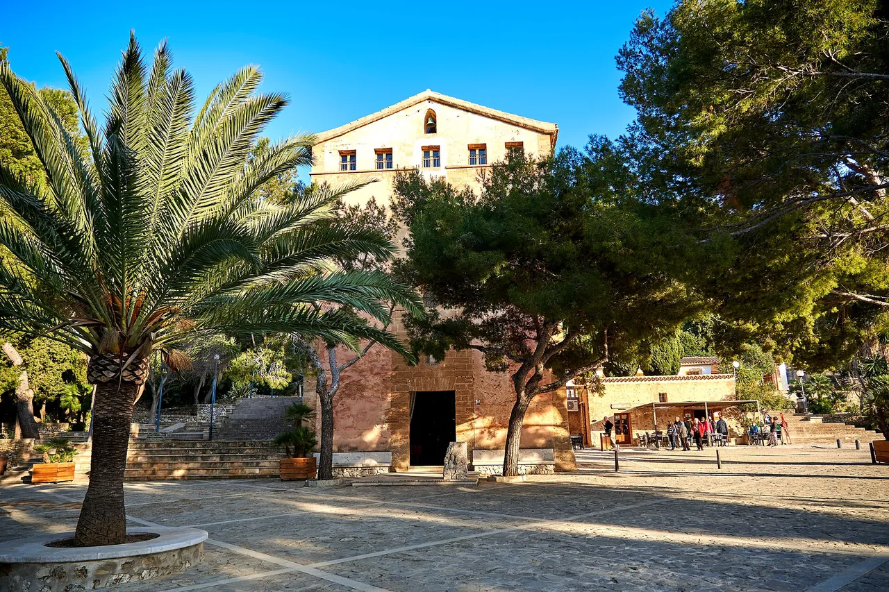
| Start | Ermita de la Victòria |
| Tickets | free entry |
| Best time to go | March, April, May, September, October, November; morning; in summer avoid the middle of the day |
| Crowds | medium; Picuco: the route is accessible all year round |
The colour next to a fact shows where it comes from: 1 source sources differ
Getting there
- Parking at the Ermita de la Victòria (Alcúdia peninsula).
- Parking: at the Ermita de la Victòria (according to Picuco and Click Mallorca)
- Restrictions: No restrictions confirmed. TIB lines to Alcúdia: to be added from the practical entries.
Free parking
- Unnamed car park: about 80 m on foot, number of spaces unknown
Car parks tagged as free in OpenStreetMap (fee=no); walking distance = straight line x 1.3. All free car parks
Questions and answers
When should I avoid climbing Talaia d'Alcúdia?
In the hot hours of summer: according to Picuco it is worth avoiding the middle of the day, and the route has steep slopes and cliffs on the Pas de s'Aritja section. After rain the rocks are slippery.
How do I get back from Talaia d'Alcúdia?
The basic version is a loop from the Ermita de la Victòria with a car park at the start, so you return to your car. The longer version with Penya Roja and the cove of Coll Baix needs a separate return.
Do I need a permit or reservation for Talaia d'Alcúdia?
No: the sources checked mention no permit or fee. There is a car park at the Ermita de la Victòria.
Is there water or food on the Talaia d'Alcúdia hike?
Picuco lists no water sources and recommends taking water and sun protection. You carry water and provisions for 4-5 hours with you.
Nearby and related
Places to visit
- Mirador des Colomer (Es Colomer viewpoint) 8 km
- Cap de Formentor 10.5 km
- S'Albufera Natural Park 11.7 km
Beaches
- Alcúdia beach 6.5 km
- Playa de Muro (Platja de Muro) 9.3 km
Hiking trails
- Boquer Valley walk to Cala Bóquer 8.6 km
- Puig de Maria hike 13.2 km
- GR 221 Stage 9: Pont Romà - Port de Pollença 13.5 km
Towns and villages
- Alcúdia 4.8 km
Festivals and events
Related
More in this region: Serra de Tramuntana
Sources
- picuco.com (accessed 2026-10-29)
- manawa.com (accessed 2026-10-29)
- click-mallorca.com (accessed 2026-10-29)
- nominatim.openstreetmap.org (accessed 2026-10-29)
Checked 29 October 2026. Our own descriptions; figures from the sources above, with conflicting sources shown as a range.